Lake Powell Is About 10 Feet from the Hydropower Generation Threshold
The second-largest reservoir in the US hits a historic low, and the USBR projects its level could approach the point at which Glen Canyon stops generating power.
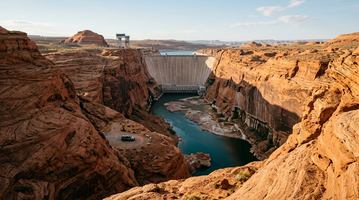
Lake Powell, the second-largest reservoir in the United States, hit a historic low of 1,072.87 meters above sea level on August 15, according to Carbon Brief. Lake Mead, the country's largest reservoir, had broken its own record low days earlier, on August 7, at 317.11 meters.
Both reservoirs sit on the Colorado River, which supplies water to roughly 40 million people across seven southwestern US states and approximately 5.5 million acres of farmland, according to El Financiero. Upper-basin flows have fallen roughly 20% since the early twentieth century, with studies attributing half of that decline to climate change; the population depending on the system grew by about 15 million since 1992, according to Carbon Brief. Combined storage across both reservoirs is at its lowest point since 1957. The hydropower shortfall in the Southwest is a case study in drought-driven supply risk: the deficit left by Glen Canyon and Hoover Dam is being covered by gas and renewables.
A study by the US Bureau of Reclamation (USBR), published in July, projected that Powell's reserves risk approaching the 3,490 feet (approximately 1,064 meters) needed to continue generating electricity, the threshold that determines whether Glen Canyon Dam stops contributing power to the grid. The current level, at roughly 3,500 feet, leaves the reservoir about 10 feet from that limit. At Mead, the drop since January is 23 feet (7 meters). On July 31, the USBR released the environmental impact statement for its post-2026 strategy; the strategy itself has not yet been published. The reduction in hydropower output tightens firm supply across the western US, where the Western Area Power Administration (WAPA) compensates with gas and renewables, a signal for operators such as the Electric Reliability Council of Texas (ERCOT).
The key indicator to watch is the USBR's post-2026 strategy and Powell's level through the winter: if the reservoir stays above 3,490 feet, Glen Canyon continues to generate. Upper-basin snowmelt will determine the recovery trajectory, a reference case for shared river basins in Mexico and Central America.
This article was drafted with artificial intelligence assistance from verified sources and reviewed by a human editor before publication.
Sources
Related stories
This article was drafted with AI assistance from verified sources and reviewed by a human editor before publication.